A record of burial grounds, plot by plot
Find where they rest, down to the stone.
Jermory maps burial grounds plot by plot and records what is written on every memorial, so a grave can be found on the ground rather than described from memory — and searched from anywhere once a site is on the record.
Built for burial grounds of every kind
Why it exists
Burial grounds are losing their own records.
Most plot plans exist once, on paper, in a cupboard in someone's office. Inscriptions weather away faster than they are read. When a burial ground changes hands, or a volunteer of thirty years stops, what they knew usually goes with them.
Jermory exists to capture that information while it can still be captured, and to keep it somewhere it will outlast any one custodian.
The same gap turns up wherever ground is set aside for burial.
- Council cemeteries
- Trust-run grounds
- Natural burial grounds
- Closed churchyards a council now mows but keeps no records for
Jermory is built to take any of them, on the same map and in the same formats.
Map every plot
Each grave given a position, a reference and a boundary, so it can be found on the ground rather than described from memory.
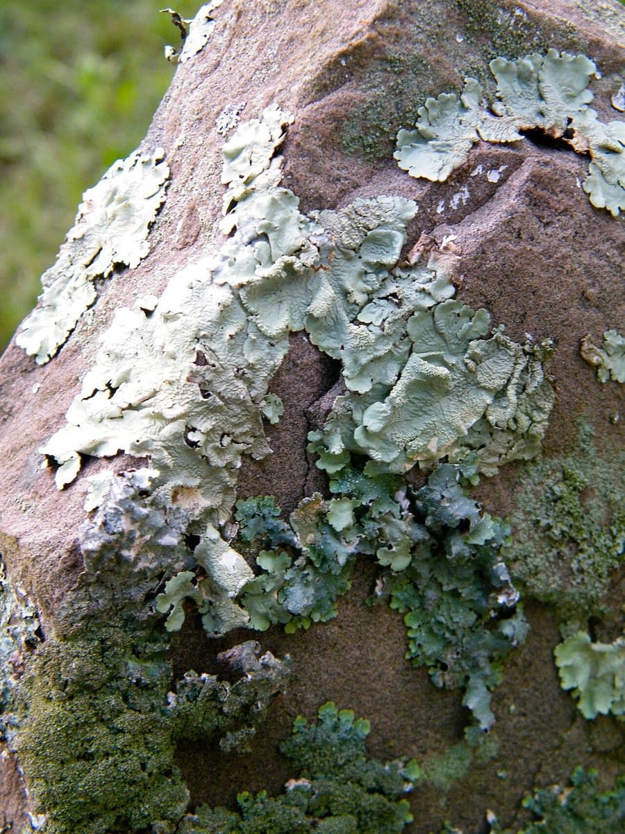
Read the stones while they last
Inscriptions transcribed and photographed before weathering takes them, with the photograph kept beside the text.
Free to search, forever
No paywall on looking someone up, and no advertising against a person’s name.
The record stays with the ground
Records stay with the site if the software or the organisation changes hands.
How a site gets recorded
Four stages, run by people who know the ground.
- Stage 1
Georeference
Satellite imagery of the site is aligned to survey control so positions are true on the ground, not approximate.
- Stage 2
Draw the plots
Volunteers trace plot boundaries and rows in the browser. No forced grid — burial grounds are not tidy.
- Stage 3
Record the people
Inscriptions transcribed, registers cross-checked, photographs attached. One plot can hold several people.
- Stage 4
Review and publish
A site admin approves each change set. Only then does it appear publicly, with its source and contributor shown.
For the people who look after a site
Bring your site onto the record.
A mapped site answers enquiries without anyone walking the rows with a paper plan, gives your volunteers a task they can finish, and turns the ground itself into something a family can find from anywhere.
Photograph to come — hands resting on a large paper site plan on a table, pencil in shot, indoors, no faces.
Enquiries answered in seconds
Send a family a link instead of arranging a visit and walking the rows with a paper plan.
Volunteer work that accumulates
Every session is saved, attributed and reviewable, so the survey doesn’t restart when the people do.
Evidence for funding bids
Plot counts, condition grades and survey coverage export as the kind of report heritage funds ask for.
Condition and maintenance planning
Condition flags show which memorials are leaning, illegible or need attention first.
Your own boundaries
Grant access site by site. Nothing is published until you approve it.
Data you can take with you
Full export of records, geometry and photographs at any time, in open formats.
A survey is mostly volunteer time. A village-sized ground of a few hundred plots is typically a few dozen volunteer-hours spread across a season — an afternoon here and there rather than a fixed rota. Larger sites take longer, and a managed survey puts a surveyor on the ground for the first pass so volunteers come in after the hardest part is done.
Funding a survey
Three ways a site gets funded
Public search is always free. Custodian tools are what carry a cost.
Single site
£16
per month, billed £180 a year
Sites up to ~750 plots
- Survey tools and unlimited volunteers
- Public site page and search listing
- Annual export of all records
Managed survey
Most sitesfrom £1,500
one-off, then £16 a month
- A surveyor on site for the initial pass
- Register transcription from your existing books
- Volunteer training and handover
- Funding-bid documentation prepared
Large site
£38
per month, billed £420 a year
No plot limit
- Everything in Single site
- Condition-grade reporting
- Register / spreadsheet import
Multi-site
Bespoke
multi-site, from 10 grounds
- Every site under one administration
- Roles granted per site, not per person
- Consolidated reporting across grounds
- Data-sharing agreement and SLA
Indicative pricing, scales with the number of plots. Grant-funded surveys are common — we provide the plot counts, cost breakdown and outcomes wording that heritage funds ask for.
Prices in GBP.
From the field
Starting the first survey, at Besthorpe
Our first survey is under way at All Saints, Besthorpe, in Norfolk, and what this one churchyard needs is shaping the tool every other ground will use.
Photograph of All Saints, Besthorpe — to come
Support
Two ways to get a site recorded
Individuals
Adopt a site, or a single stone.
Sponsorship pays for the survey of a burial ground that cannot fund its own. You choose the ground, and your name sits on its record page unless you’d rather it didn’t.
Not tax-deductible — Jermory has no charitable status.
Site management
Start with a walkthrough of your own ground.
Send us the name of the site. We come back within a week with satellite imagery of it, an estimated plot count, what a survey would involve, and which funds it would qualify for. No commitment at that stage.
Request a walkthroughCommon questions
Before you get in touch
Who owns the records?
You do. The records stay with the site: if Jermory the software or the organisation ever changes hands, the ground keeps its own history. You can export everything — records, plot geometry and photographs — in open formats at any time, not only on the way out.
What does it cost?
Public search is always free, and there is no charge to look a person up. The cost sits on the custodian side: a single site is £16 a month, and a managed survey — a surveyor on the ground for the first pass — starts at £1,500 one-off. Grant-funded surveys are common, and we prepare the plot counts and cost breakdown that heritage funds ask for. Prices are in GBP.
Do we need volunteers?
For a self-run survey, yes. A village-sized ground is typically a few dozen volunteer-hours spread across a season, with one or two people who know the site and others who can spend an afternoon tracing plots or reading stones. If you do not have the people, a managed survey puts a surveyor on site for the initial pass and trains whoever you do have for the rest.
What if we already have a spreadsheet?
That is a good start, and it is not wasted. Existing registers and spreadsheets are transcribed in and cross-checked against the stones, so the digital record and the ground agree. A spreadsheet on its own cannot show where a grave is; Jermory ties each entry to a position on the map.